
VTT sponsoring the CommEO Award
At the 2nd EO Commercialisation Forum, organized by ESA in Frankfurt in 27-28 November 2024, a special CommEO Award is presented. The CommEO Award...

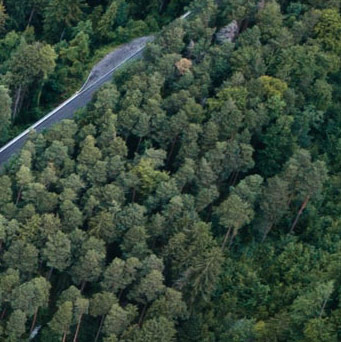
Forestry TEP is an online solution for commercial, research and public sector users to improve forest management while ensuring sustainability and carbon sequestration.
SubscribeOur data and tools deliver.
Forestry TEP will streamline your data operations and lets you reach new customers globally.

Forestry TEP will let you work with satellite data online and share your outputs and collaborate.

Gain benefit from the community-developed tools and access timely information to support forest management, reporting and decision-making.
The introduction
to the offering.
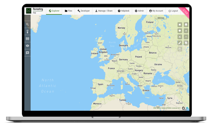
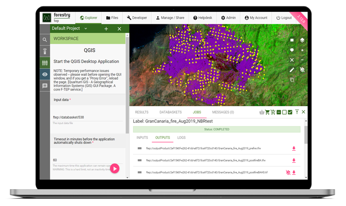
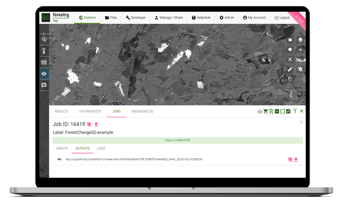
The Forestry TEP offering includes
Start a free 30-day trial or
learn about the free use scheme for
research and pre-commercial use.
At the 2nd EO Commercialisation Forum, organized by ESA in Frankfurt in 27-28 November 2024, a special CommEO Award is presented. The CommEO Award...
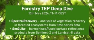
Forestry TEP Deep Dive Webinar on 15th May 2024, 13:00-14:00 CEST, introduces two brand new tools on the Forestry TEP platform. Be sure to register...
We are happy to announce inclusion of three new processing services in the Forestry TEP Offering. The SpectralRecovery, kNearestNeighbours, and...


In this NoR webinar session we showcase effective use of SpectralRecovery and Sen2Like, two brand new tools on the platform. Register in advance to receive the webinar link!