Forest monitoring tools for dry tropical areas
Tropical dry forests are experiencing some of the highest rates of deforestation and degradation around the world. These ecosystems are particularly at risk due their fragility and the high demand for forest goods and services, which are required to support the livelihoods of large numbers of the world’s poorest people. Earth observation (EO) based forest monitoring in tropical dry landscapes is extremely challenging due to seasonal and inter-annual variation of the landscape, combined with often open canopy structure of the forests. The new Sentinel-1 radar and Sentinel-2 optical satellites launched by the European Space Agency (ESA) provide unprecedented datasets to tackle these challenges in ways that have never been possible before.
The Satellite Monitoring for Forest Management (SMFM) project aims to provide national authorities in tropical countries with improved tools and technical capacity for monitoring dry tropical forest landscapes. The project is funded by the Global Environment Facility and coordinated by the World Bank, while LTS International (part of the NIRAS group) is carrying out its implementation alongside the University of Edinburgh. The SMFM project addresses the challenges related to monitoring tropical dry forest ecosystems with the means provided by the increased amount of available satellite data and improvements in online image processing capabilities. The SMFM project has developed new and enhanced satellite EO based tools for 1) semi-automated pre-processing of optical data for land use/cover classification; 2) annual forest biomass change and degradation mapping; 3) dense time-series analysis for continuous, near-real-time, change monitoring of forest change proxies; and 4) machine learning methods to remotely identify causes and drivers of forest change using EO.
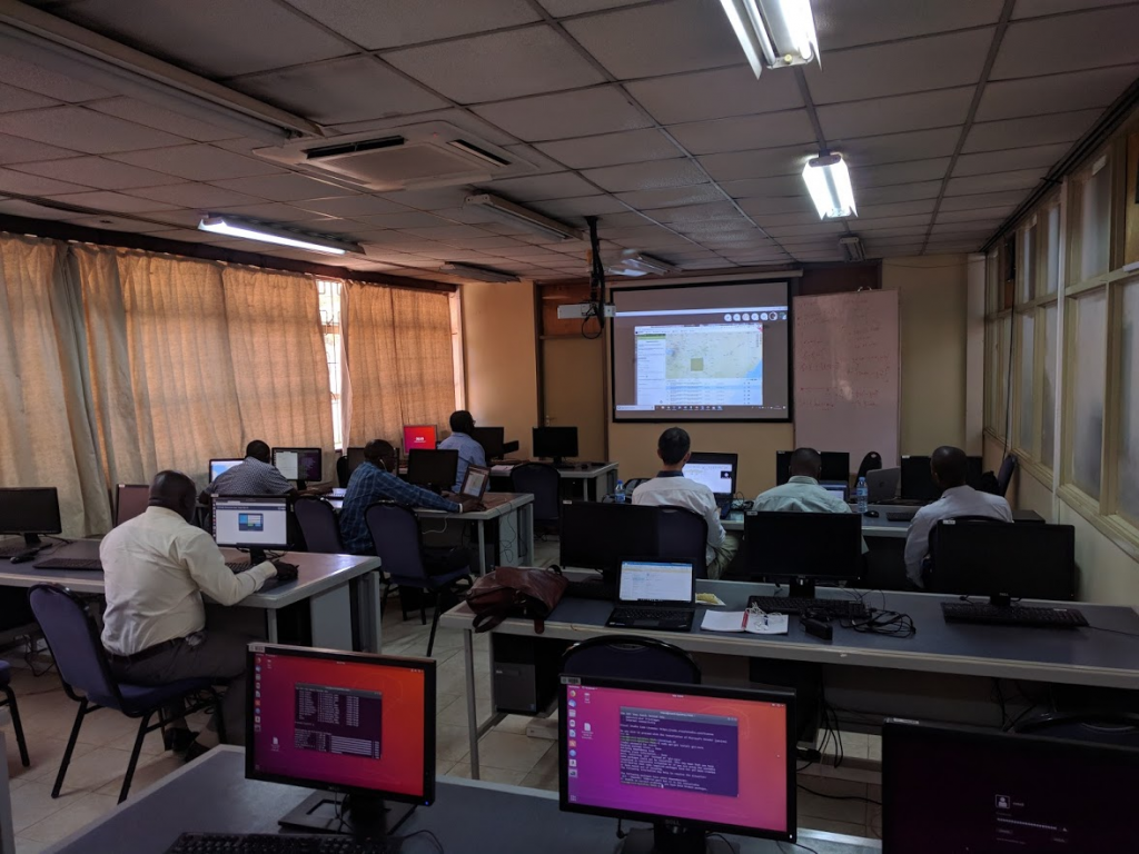
Country implementation is currently taking place in Mozambique, Namibia and Zambia. Training events have also been held in Nairobi (Kenya), hosted by the Regional Centre for Mapping Resource for Development (RCMRD) for wider outreach and to encourage exchange and cooperation between African countries. As an online processing platform, Forestry TEP (F-TEP) provides excellent means to fully utilize the possibilities provided by the unprecedented amount of satellite data, with minimal needs for data transfer. The users in Mozambique, Namibia and Zambia can access and run the SMFM tools implemented on F-TEP using online interface, while the actual processing takes place in servers thousands of kilometers away. This allows effective image processing even with potentially limited IT resources available in the participating countries. Development work of both the SMFM tools as well as the F-TEP functionalities is ongoing to further improve capabilities for forest monitoring in tropical areas.
SMFM Team